Lindisfarne part 1: Evening Light on a Tidal Island
The calm before the chase
I had spent the afternoon wandering around Berwick‑upon‑Tweed, photographing the elegant sweep of the Old Bridge as the River Tweed slid quietly beneath it. It was one of those days where the weather couldn’t quite decide whether to be helpful or mischievous - a familiar dynamic for anyone who has ever attempted landscape photography in the north of England.
The Old Bridge at Berwick upon Tweed
As I packed up my camera, I noticed something important: the tide was retreating.
For most people, this would be a mildly interesting observation. For me, it was a call to action and within minutes I was back in my car, heading south with the sort of urgency normally reserved for people who have forgotten to turn the oven off. Lindisfarne - Holy Island - was about to open its causeway, and I intended to be on it.
My visit on 28 April 2026 began with the familiar ritual of crossing the causeway. Even now, decades after my first attempt, I still feel a faint flutter of anxiety as the tyres roll over the wet tarmac. My son, now 28, still remembers his dad muttering about “escape routes” and “water levels” during our first crossing twenty years ago. Some families bond over football. We bonded over the possibility of being stranded on a tidal island.
A few useful facts about the Causeway
Holy Island is only accessible when the tide is out. The causeway floods twice a day, and the sea does not negotiate. It doesn’t care about your schedule, your dinner plans, or your belief that you can “probably make it.”
The official safe crossing times come from Northumberland County Council, and they’re not suggestions — they’re survival tips. Every year, a handful of optimistic drivers attempt to outrun the tide and end up providing entertainment for the local RNLI.
Fortunately, on this particular evening, the tide was well out, the road was dry, and I arrived just after 5pm — that magical hour when the island becomes wonderfully quiet
Pilgrims Way – The Poles Across the Sands
My first photograph of the evening was of the Pilgrims Way posts at Chare End. These wooden poles mark the ancient footpath across the sands - a 3‑mile route used by monks, pilgrims, and, occasionally, modern visitors who underestimate how quickly the tide returns.
Pilgrims Way, from Holy Island towards the mainland
Useful Facts About Pilgrims Way
The poles mark a safe(ish) route across the mudflats.
It takes around 90 minutes to walk, assuming you don’t stop every 12 seconds to take photos.
It is only safe at low tide - and “low tide” means properly low, not “I think it’s going out.”
The path is maintained by the Northumberland Coast AONB, who provide excellent safety guidance and politely remind people not to attempt the crossing in flip‑flops.
In the early evening sun, the posts cast long shadows across the flats. It’s a scene that feels both ancient and strangely modern, like a minimalist art installation commissioned by monks with impeccable taste.
South along the coastal path
From Chare End I followed the coastal path south, skirting The Basin. The breeze had picked up, carrying that unmistakable North Sea coolness that makes you grateful for every layer you remembered to bring. The path was empty, the light warm, and the island felt suspended between day and night.
It’s the kind of walk where you don’t rush. You just let the landscape do what it does best: remind you that life is bigger, quieter, and more patient than the inbox waiting back home.
The village without the crowds
Walking through the village of Lindisfarne without crowds is a rare treat. The narrow lanes, usually filled with visitors, were almost silent. The mead shop was shut, sparing me from impulse purchases and questionable decisions. The cottages glowed in the evening sun, and the whole place felt like it had been left in my care for an hour.
Lindisfarne Priory – A Walk Through History
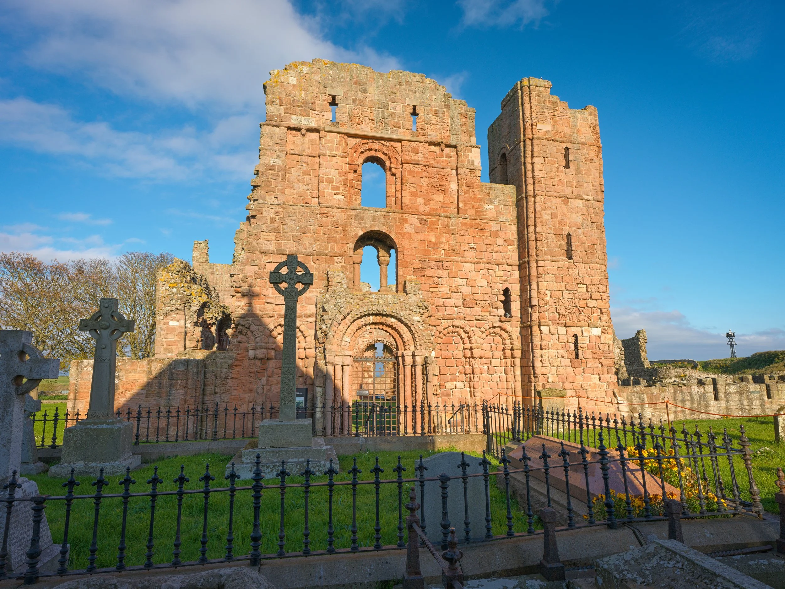
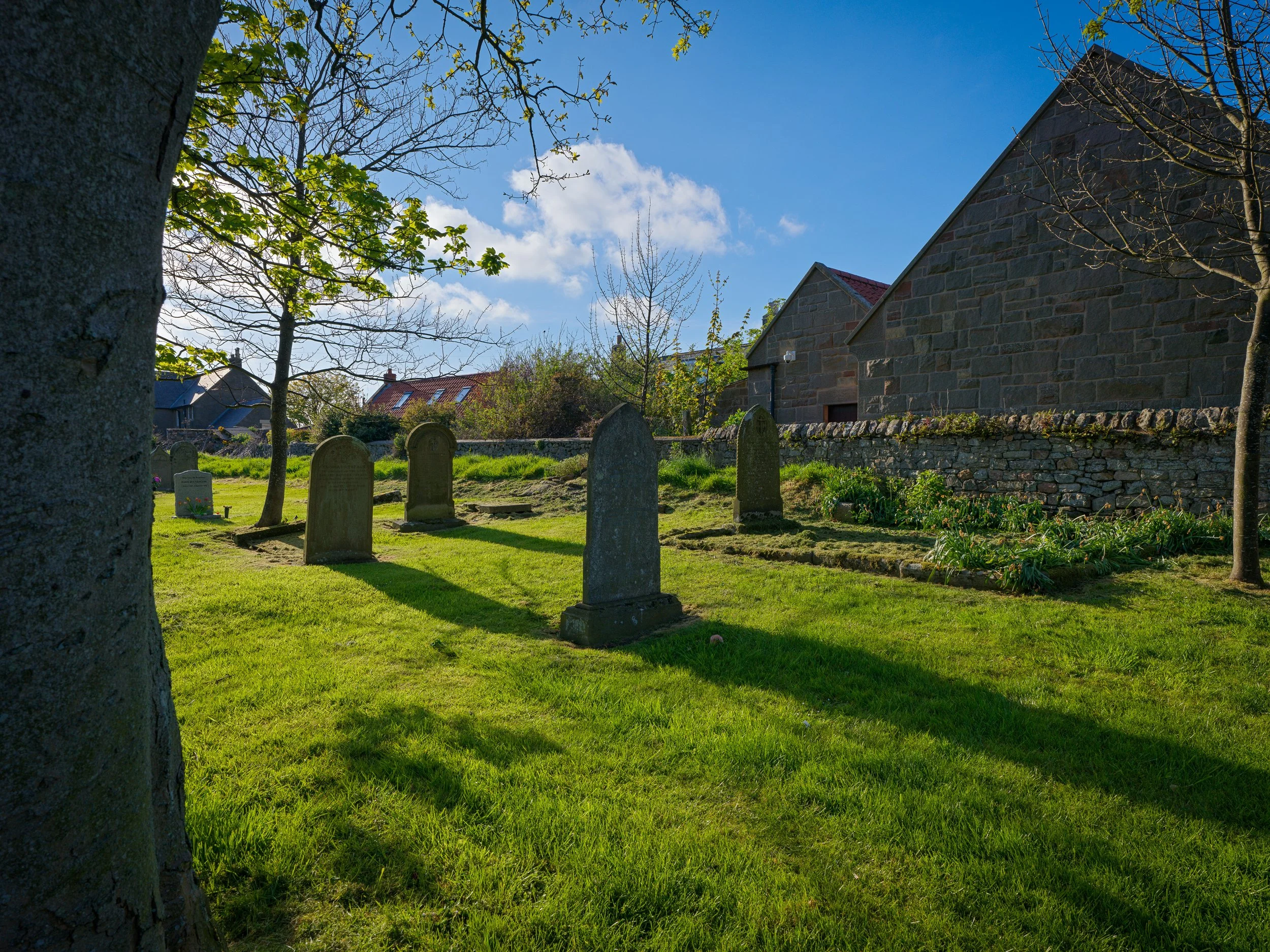
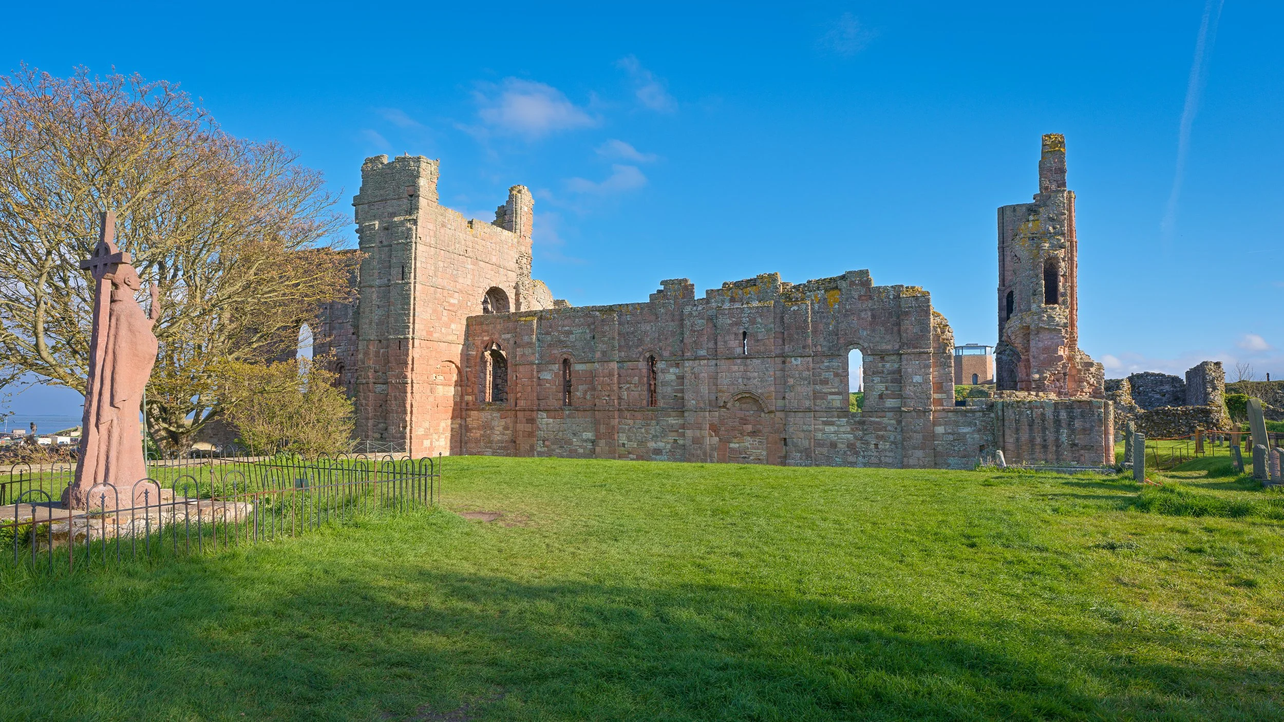
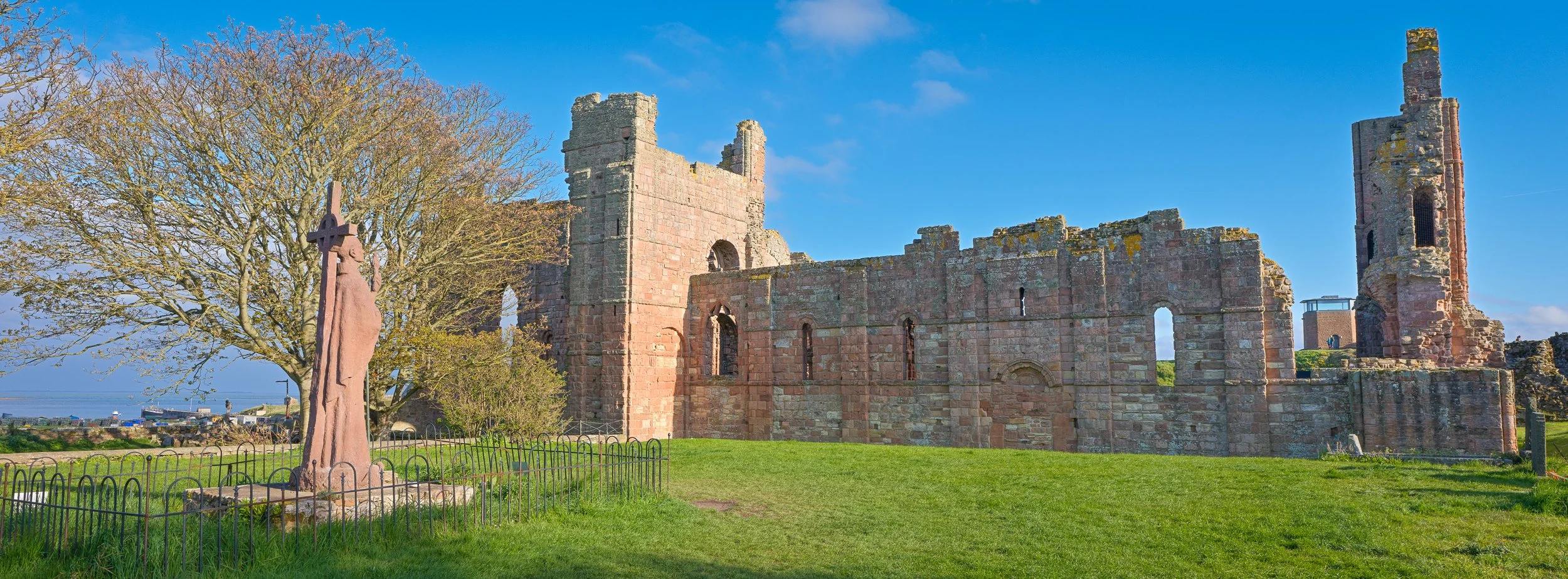
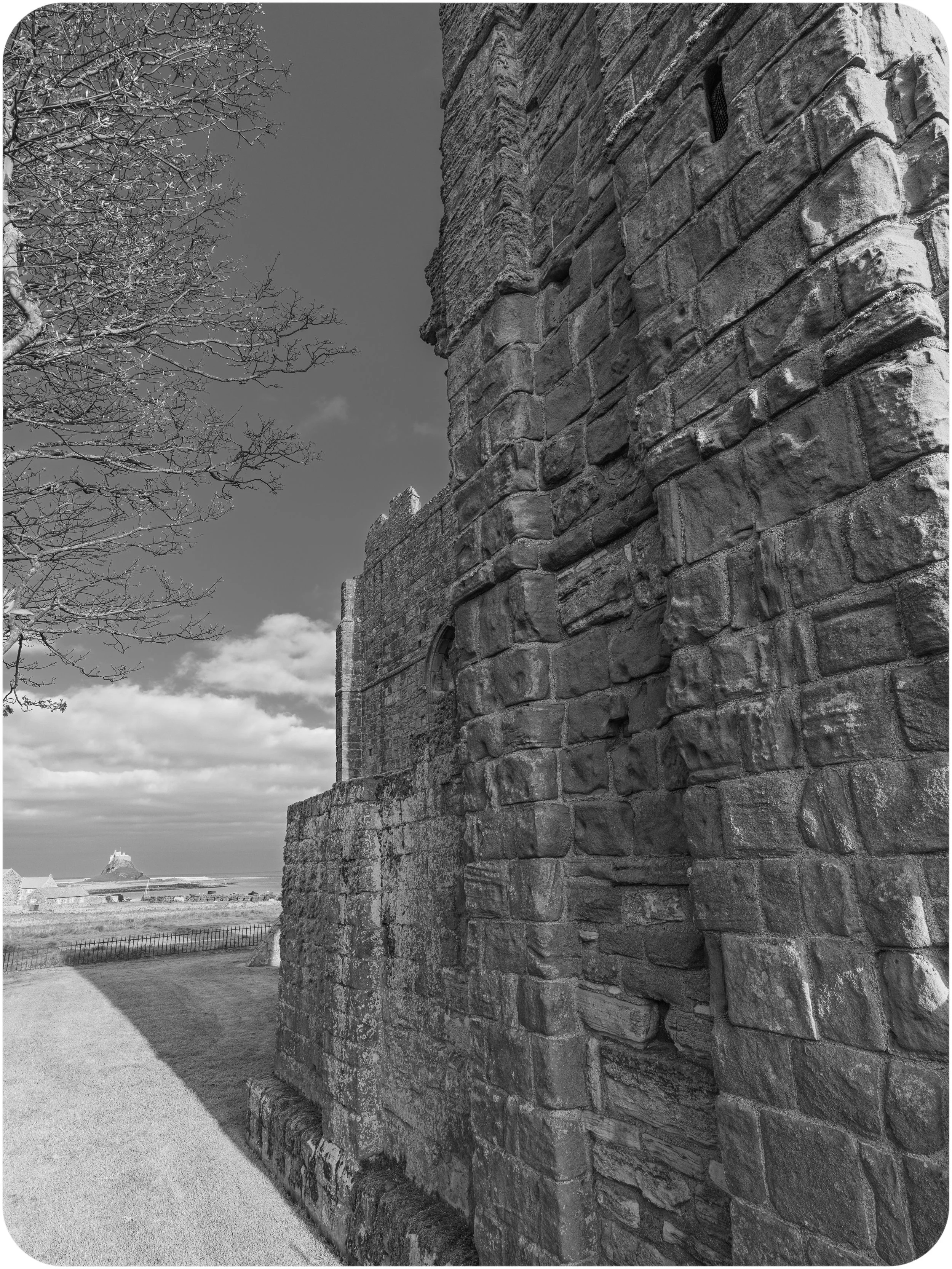
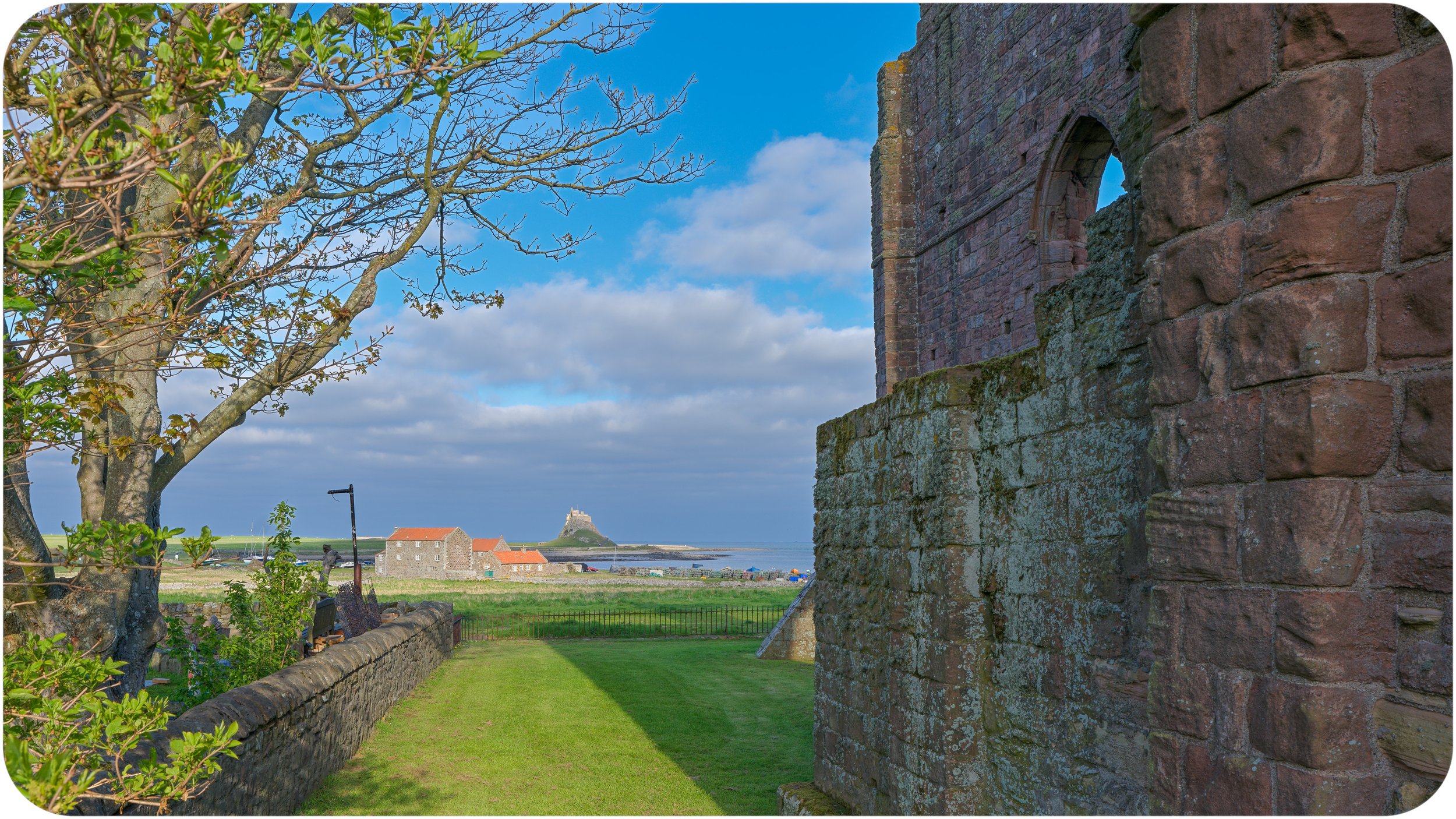
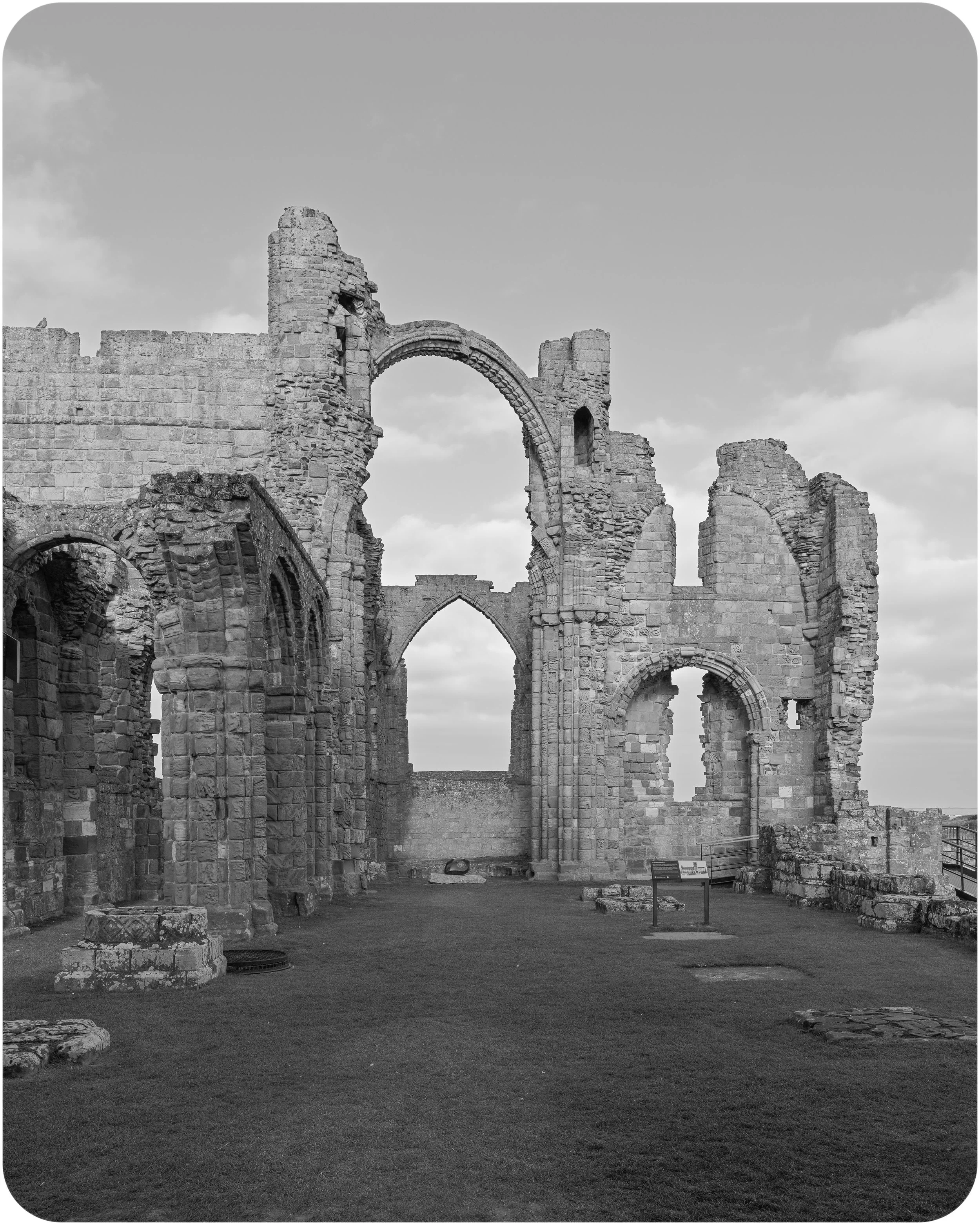
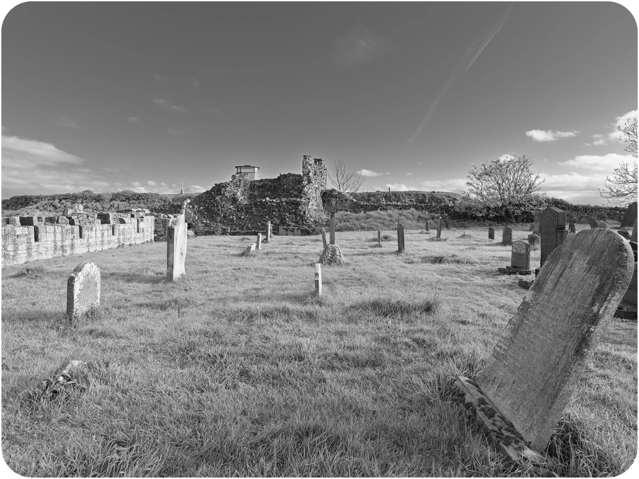
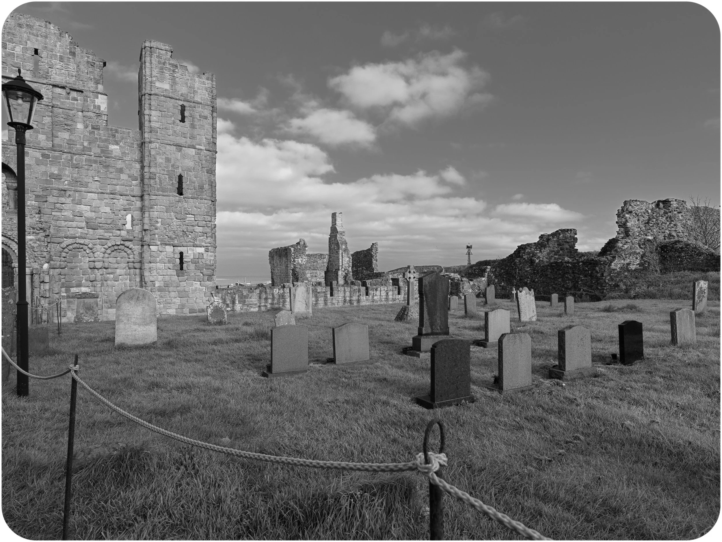
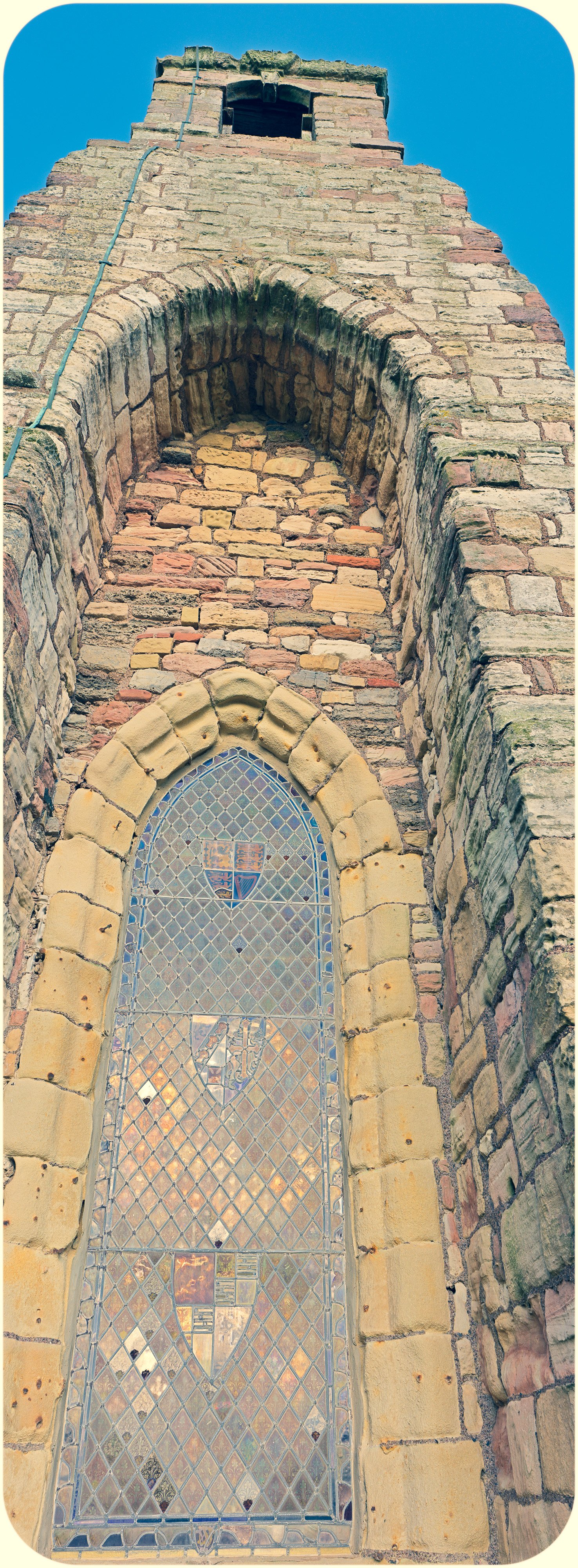
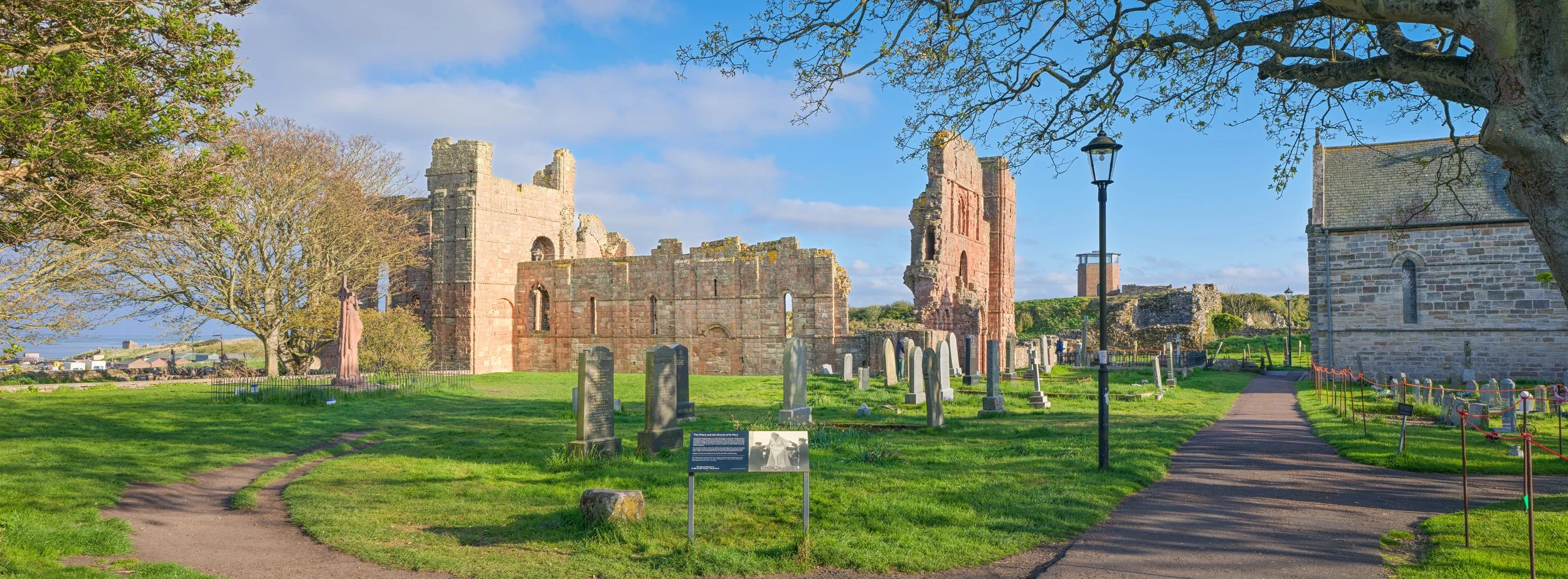
My final stop was the priory. Even from the outside, the ruins carry a weight that’s hard to describe. Lindisfarne Priory was founded in AD 635 by Saint Aidan and later became home to the monks who created the Lindisfarne Gospels — one of the greatest masterpieces of medieval art.
Useful Facts About the Priory
It was one of the most important centres of early Christianity in Britain.
The monks endured Viking raids, including the infamous attack of 793 AD, often cited as the beginning of the Viking Age.
The priory was dissolved in the 1530s under Henry VIII, who shut down monasteries with the enthusiasm of someone clearing out a garage.
The ruins you see today are mostly 12th‑century structures built by Benedictine monks.
Walking around the exterior in the early evening light, with the last warmth of the sun catching the stone, you can almost imagine the sound of ancient voices drifting through the ruins. Or perhaps that’s just the wind - Holy Island has a habit of making you poetic.
This visit was Part 1 of my Holy Island series. If you enjoy quiet landscapes, history, or simply watching someone wander around in a puffer jacket pretending to be calm about tide tables, you might enjoy the behind the scenes video linked below.
Looking Ahead to Part 2….
In Part 2, I walk out towards Steele End, where the light finally broke through the clouds and gave me one of my favourite images of the entire trip: Lindisfarne Castle glowing in warm sunlight. Next week I’ll post a new piece for Part 2 of my trip, with an accompanying behind the scenes video.